( Log In ) Log In is for TREC Teachers & Researchers only
  |
| Maggie_Kane |
 Jul 24 2006, 08:11 PM Jul 24 2006, 08:11 PM
Post
#1
|
 Advanced Member    Group: TREC Team Posts: 51 Joined: 12-April 06 Member No.: 27 |
Today was a really big day. You probably think they are all big, but this one really defined BIG! We needed to hike up the glacier and start measuring our ablation stakes, and set up a radiation shield to measure temperature and relative humidity, AND set up a snow depth sensor attached to a solar panel. OK, so that seems full, but you must also factor in the 18 mile hike that this involves! This hike also required a good amount of equipment hauling (including a 75 battery), so that made it seem like more than 18 miles! Only some of the group went up the glacier while the rest of the group set up a second ISCO in the stream near the glacier’s terminal moraine (more on that later).
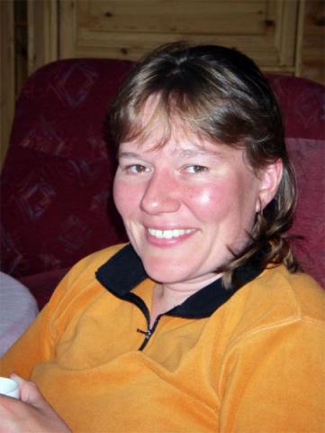
Load up for the Glacier  Ablation stakes are poles in the ice that have markings on them. By looking at the place where the pole intersects the ice, we can tell how much the ice height has changed over time. These will be checked every other day by Heather and Eric who have adopted the glacier as their thesis project area. Ablation Stakes  In order to put the radiation shield and snow depth sensor in the ice, the students had to drill a hole with an auger. Using the Ice Auger  Then, the box containing the battery and the solar panel was braced to the pole. The solar panel is tipped to collect the maximum amount of solar radiation. The battery is there for adding power when needed to run the instruments. The Full Setup  The work was time consuming and the hike long. According to Eric (who hauled the battery up there!) there is no place he would rather be than Linnebryen! The glacier group returned to the station at 10:27 pm, tired and very hungry for a late dinner. A Beautiful Day on the Glacier  Meanwhile, group 2 set up a second ISCO sampler to collect water samples every two hours, positioned a second measured rope gauge across the stream, and positioned a level logger in this section of the stream to monitor water level. Now there are 2 “stages”, one way up high near the glacier, and one several miles down valley near the lake. Why do you think we would want two stages set up this way? ISCO Set Up  Bottles inside the ISCO  It was a great day for all of us! Crossing Braided Stream  There are some other scientists staying at Isfjord Radio with us right now. Hanne Christiansen is a paraglacial and permafrost expert who currently teachers at UNIS in Longyearbyen and chair of the Department of Geology. She is unbelievably energetic and brilliant and has with her an assistant Carolina who is extremely good at using the radar equipment they use to find the depth of the permafrost. What is permafrost? Well, it is frozen ground that exists near the surface in arctic regions and accounts for all sorts of strange and beautiful surface formations. Hanne  Carolina  We are also lucky to be in the company of Trina and Espen who are studying a small lake perched above the Linne Valley called Kongress. This is a very odd lake because it is very deep and has a strange chemistry. We will be hiking to Kongress tomorrow to see what the geology is like there. Trina  Espen  We enjoyed another bright and sunny day today, and after such long hikes we were happy to fall asleep at last! |
  |
1 User(s) are reading this topic (1 Guests and 0 Anonymous Users)
0 Members:

|
NSF Acknowledgment & Disclaimer | Time is now: 31st October 2024 - 07:21 PM |
Invision Power Board
v2.1.7 © 2024 IPS, Inc.


